Description
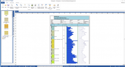
Geodropbox is Cloud platform for the managment and archiving of documentation, which allows the union of geographical information to whichever type of document in electronic format. In addition, in Geodropbox, it will be possible to draw stratigraphic columns, manage static and dynamic penetration tests, geophysical tests, wells, laboratory analysis, and tests. View and manage IFC BIM files.
 |
 |
 |
 |
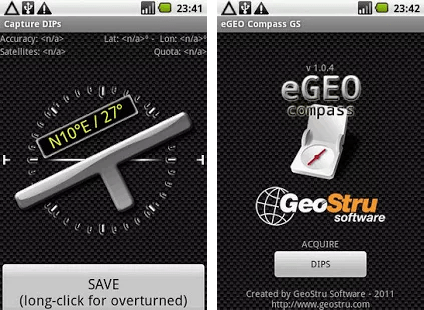
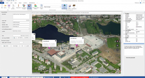
LocationLocate the work area via satellite map, even from mobile devices. |
UploadUpload elaborations or any other file in electronic format (doc, pdf, dxf, dwg, png, jpg, IFC, etc..) |
OrganizationSearch and view any type of information in your dynamically organized archives. |
SharingShare files and folders to optimize the work between you and your colleagues |
What is this about?
GeoDropBox extends the potential of cloud (OneDrive, Google Drive, Dropbox, etc.) with GIS and dynamic document archiving.
An example can better clarify what is this about.
Imagine to have archived in GeoDropBox hundreds of projects, you will be able to: view them on a geographical map, search them graphically, access project information with a simple click, search for a document or a report, share a document with colleagues or download from a mobile device.