We develop state-of-the-art software with the utmost care and precision in the fields of Civil Engineering, Geology, Geophysics, Topography, and related disciplines.
GeoStru stands out for its commitment to quality and expertise. With over 20 years of experience, presence in over 135 countries worldwide, and more than 50,000 active licenses, GeoStru is a global leader in its field.
Our software is designed to ensure absolute precision in computational algorithms, a user-friendly interface, and highly professional output documents.
Each software solution operates independently and addresses specific cases. However, various software solutions can interact with each other through GeoStru Interchange Technology (EDP) or BIM standards (AGS4).
We deeply appreciate and respect our customers and remain committed to continuously enhancing quality while keeping prices competitive.
GeoStru
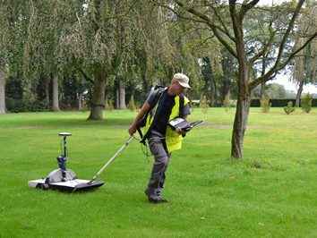
Fields of interest
Our team is made up of engineers, geologists and computer scientists.
Software & Services
Desktop Software
Over 50 software of extremely high reliability and quality are recognized worldwide.
GeoStru 365
24 GeoStru software in cloud computing.
The applications can be used on your own browser.
If you don’t want to buy software, this is the best solution for you.
No limitation compared to commercial software.
You can import, process, print and export.
With GeoStru 365, you don’t have to install, configure and update the software.
Just log in with username and password.
Geoapp
Over 70 web applications to solve particular cases of engineering, geology, hydraulics and hydrology
More information on geoapp.eu
GeoDropBox
Management and Archiving of Technical Study Documents.
The user can archive the technical study documentation in cloud, combining geographical information to the archiving of any type of document in electronic format.
The user accesses the cloud application with username and password and locates the work area on the map (this can be done directly on site with mobile devices).
When locating the construction site, various information will be requested, such as the customer, the project code, etc.
Training courses
Choose the accredited training (CFP), enroll in the next online courses and follow them from the comfort of your home or study.
Over the past year, we have organized hundreds of courses, many free.
Visit the dedicated portal gomeeting.eu
App device
Mobile applications: Georisk, Geoapp mobile, Egeo compass.
Services
Consulting and design
GeoStru offers, upon request, consulting and design services.
Managing consulting and design, even remotely, has become very easy through electronic means of communication. Our highly specialized team is by your side and is the ideal partner that will contribute to the development of your business.
Access the services page for more information
Features
We place a high value on customer experience, so we strive to implement the same logic in all our software for an easy workflow and integrated design.
Each program is a standalone software and doesn’t require additional modules, however, it allows you to pass information from one application to another, simplifying the user’s work.
We are BIM-accredited members of AGS (Association of Geotechnical & Geoenvironmental Specialists).
Promotions
Being a GeoStru customer has many advantages:
-
- highly qualitative software;
- superior technical support;
- reduced update and assistance costs.
BUNDLE PURCHASE
For purchasing more software, we offer you a 5% discount for each software after the first. For 4 software you get a 15% discount.

GRADUATE STUDENTS
Are you a recent graduate (<4 years)?
We encourage you to conquer your professional dreams with a 30% initial discount.

COMPETITIVE UPGRADE
Do you have software equivalent to ours with a regular license for use?
We offer you a 50% discount when you buy our software!
Products
Over 50 software for your profession, each module is independent, but the data can be interchanged from one software to another through our standard or BIM.

STRUCTURES
Structural calculation software
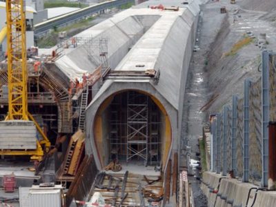
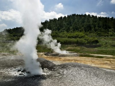
GEOLOGY AND GEOTECHNICS
All about geotechnics and geology
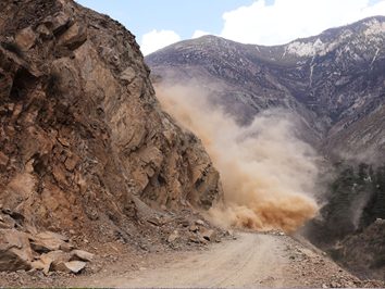
GEOMECHANICS
Classifications, 2D and 3D Rockfall
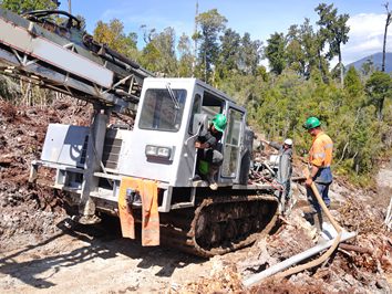
IN SITU TESTS
DP, CPT, CPTE, CPTU, Downhole
GEOPHYSICS
Masw, Hvsr, Refraction, Downhole
HYDROLOGY AND HYDRAULICS
Wells, River basins, Hydrographic network, Hydraulic checkout
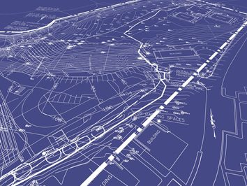
TOPOGRAPHY
Topographic points, level curves, sections, calculating volumes
GEOTHERMAL ENERGY
Design of geothermal systems