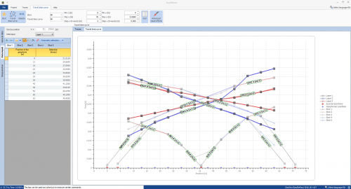
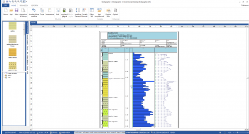
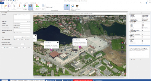
Geological & Geotechnical modelling 3D – GM3D software for 2D and 3D geological and geotechnical BIM modelling. In this video, some features of the software.
🏢The price shown refers to the Standard License. Are you a company, a public body or a reseller? Professional, Enterprise and Public/Tender editions are available, with dedicated implementation, modelling assistance, priority support and tailored contract terms. Request a quote →
GM3D is the optimal solution for geological and geotechnical BIM modelling, allowing the user to create and export three-dimensional BIM models of the subsurface and geotechnical sections quickly and easily.
Thanks to its 3D modelling algorithms, GM3D offers different modelling approaches to reconstruct the stratigraphic terrain model and geological sections. The three-dimensional model of the subsurface can be combined with 3D models of structures of all kinds.
GM3D is a versatile software, which supports import and export in EDP format, a well-known data interchange format within GeoStru software, used for static and dynamic soil penetration tests and geophysical tests and also in PDF, DWG/DXF, and standard BIM ICF and AGS formats.
Surveys can be imported from: ags, ifc, dxf, obj, fbx, 3ds, c4d, dwg, csv, EDP known GeoStru data interchange format.
After processing the 3D model, two-dimensional sections can be created which can be exported for subsequent processing for different cases such as: stability analysis, rock mechanics, etc.
We use technical cookies to run the site and, only with your consent, Google cookies to measure visits and our campaigns. If you decline, the site works just the same. Details.