GeoStru - a world of technical software in continuous evolution
For over 15 years we offer software and consulting services for Civil Engineering, Geotechnical Engineering and Geology, Geomechanics, Hydrology, Topography, In situ Soil Testing and Geophysics.
Attention to customer service and the development of software using the latest technologies brought us continuous development and success on international markets.
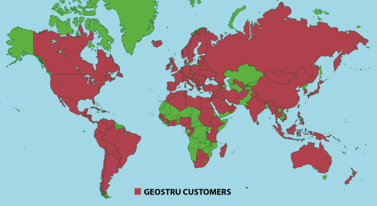
The software, currently available in English, French, Spanish, Portuguese, Italian and several other languages, is compatible with international computation rules and standards and is successfully used by Research Centers and Institutes, Universities and Private Companies as well in more than 135 countries in the world with a high quality guaranteed by over 30 000 installations.
Today, working with us is more than just buying software - it means having beside you a team of professionals willing to share their knowledge and experience for excellent results!
|
|
|
The software allows you to use the intercept method for processing with a single shot, the reciprocal method for two shots and the generalized reciprocal method (G.R.M.) for the identification of complex morphological configurations.
- No limitation on the number of shots
- Import of traces from SEG2, SEGY, SU, dta, drm and text files
- Geographical location of the investigation site
- Application of textures or colors to the section obtained
NEW IN THE LATEST VERSIONS
Added the possibility to reverse the order of traces for every single shot of the project
Implemented the reading of BISON-2 files with .dat extension
Application of the digital low pass filter with the possibility to choose the cutoff frequency and display the frequency analysis of the traces
Automatic estimation of the first arrivals using the Energy Ratio Method algorithm
Amplification of traces in a uniform manner
...read more
|
|
|
Easy MASW is the software for the interpretation and archiving of seismic data using the MASW method (Multi - Channel Analysis of Surface Waves). It is a very easy-to-use application that, with simple steps, performs the analysis of the shear waves velocities Vs.
- Import from SEG2, SEGY, SU, dta, drm and text files
- Processing based on more modes
- Display on phase velocity – frequencies map of the dispersion of a user-defined stratigraphic model
- Report of the velocity profiles generated by all the models used for the inversion
NEW IN THE LATEST VERSIONS
Identification of the useful component of the signal through the use of a polyline on the seismogram
Implemented the possibility to estimate the layer density from the value of Vp
Implemented the possibility to reverse the polarity of single traces
Generation of seismic stratigraphy
...read more
|
|
|
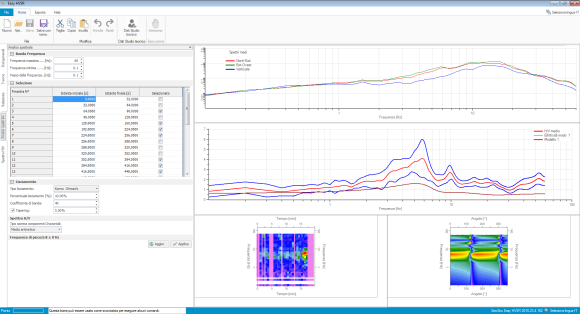
Analysis of the spectral ratio of microtremors recorded with a single -station. The simplicity of use and speed of execution of the calculations allow the user to get immediate results in the estimation of: resonance frequency, stratigraphic profile and equivalent shear wave velocity Vs30, all according to the guidelines suggested by the SESAME project.
- Import from SEG2, SAF and ASCII files
- Geographical location of the investigation site
- The user can choose the appropriate methods for the directional sum of the traces in the horizontal directions, for the smoothing and for the bandwidth to be analyzed
- All results are displayed in customizable charts
NEW IN THE LATEST VERSIONS
Automatic first estimate of the stratigraphic model that best approximates the H/V spectral behavior recorded in situ
Checks on the reliability of the H/V curve and its peak suggested by the SESAME project
...read more
|
|
|
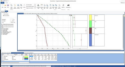
The software allows you to process the downhole seismic tests for the P waves and S waves using the direct method and the interval method. The software has an integrated system for the extraction of the first arrivals, both for the P waves and S waves starting from the data in SEG2 file format.
- Traces are shown for each depth
- View of waves S1 and S2 superimposed to detect the phase inversion
- Simultaneous display of all waves (P, S1, S2, S1 + S2) for all depths
- Phase inversion for the wave S1 or S2 wave
NEW IN THE LATEST VERSIONS
Management of the double geophone
Normalization of traces
Filtration of traces
Elimination of the continuous component of the signals
...read more
|
|
You have received this email because you have subscribed to GeoStru EU as . If you no longer wish to receive emails please unsubscribe. © 2026 GeoStru EU, All rights reserved.
|
|
| |
|
|